The GR-48: Walks Through Sierra Morena
Three Hundred Kilometres of Silence Through Unpaved Andalusia
When we think of tourism in Andalusia, the images that usually come to mind are beaches, monuments, and fiestas. But there’s another way to discover Andalusia. The deepest Andalusia. A kind of travel we tend to associate with the north and the mountains of central Spain or the Pyrenees.
And yet a route exists — a long-distance trail, hence the GR — that cuts like a green scar through the whole of Sierra Morena, from the farthest western edge of Huelva to the border of Jaén with Castilla-La Mancha. It’s the GR-48, and if you enjoy walking with a rucksack on your back and discovering landscapes where tarmac doesn’t reach, this trail is waiting for you.
What the GR-48 Is
The GR-48 is a trail marked with the characteristic white-and-red blazes of long-distance footpaths. It begins on the Portuguese border, in the Huelva municipality of Encinasola, and heads east for some three hundred kilometres through the provinces of Huelva, Seville, Córdoba, and Jaén, until it reaches the foothills of the Sierra de Andújar.
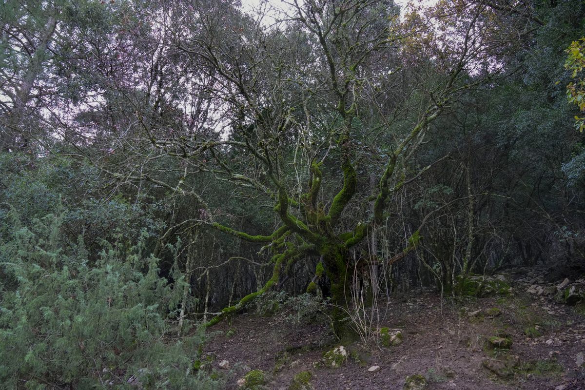
It’s not a high-mountain trail. Sierra Morena is not demanding in altitude — the highest peaks rarely exceed a thousand metres — but it is demanding in character. Here the cumulative elevation comes from the constant ups and downs, the dry ravines, the gullies, the endless dehesas of holm oaks and cork oaks that stretch to the horizon.
This is a route to walk unhurriedly. To stop and listen to the silence — one of those dense silences that barely exist anymore — to watch a griffon vulture soar overhead, or to cross paths with a wild boar at dawn. You won’t find staffed mountain huts or villages every ten kilometres. Here the logistics need careful planning: there are long stages of up to thirty kilometres between towns.
Where It Passes Through
The Huelva section of the GR-48 is probably the most spectacular and best maintained. From Encinasola the trail enters the Sierra de Aracena y Picos de Aroche Natural Park, a landscape of white villages, centuries-old chestnut trees, and a green that feels more like Galicia than Andalusia.
It crosses municipalities such as Cumbres Mayores — with its imposing Almohad castle — Cortegana — which preserves a medieval castle turned into a museum — and Almonaster la Real, where a 9th-century mosque still stands inside the castle grounds. In Aracena, the trail passes within a few kilometres of the Gruta de las Maravillas, the subterranean gem we’ve already told you about in another article.
Leaving the natural park, the route enters the Huelva mining basin — Riotinto, Nerva — a landscape that looks as if it were taken from another planet: red, ochre, and orange soils, abandoned open-cast mines, and a river, the Tinto, whose acidic crimson waters have even been studied by NASA for their resemblance to conditions on Mars.
Once in Seville province, the trail crosses the Sierra Norte, passing through Alanís, Cazalla de la Sierra, and Constantina, towns where anís liqueur and Iberian cured meats are practically a religion. In Córdoba, the GR-48 touches Villaviciosa and Pozoblanco, in the heart of the Valle de los Pedroches, before bidding farewell in Jaén through the hills of the Sierra de Andújar, the last great refuge of the Iberian lynx.
How to Organise the Stages
There’s no single official guide with perfectly measured stages, and that’s part of the charm — and the difficulty — of the GR-48. The Andalusian Hiking Federation has been marking sections over the years, but the trail has undergone modifications and there are areas where waymarking can be patchy. Carrying a GPS or a downloaded track is more than advisable.
The typical stages on the Huelva side, which is the most walked, are as follows:
- Encinasola - Cumbres Mayores (around 22 km): easy and very scenic. Dehesas, cork oaks, and the start of the natural park.
- Cumbres Mayores - Cortegana (around 25 km): somewhat more demanding, with some climbs and chestnut forests.
- Cortegana - Almonaster la Real (around 18 km): a short and very beautiful stage, ideal for taking it easy and visiting the mosque.
- Almonaster - Aracena (around 28 km): the longest stage on this stretch, but also the most rewarding. Finish in Aracena, where a shower and a plate of ham will feel like heaven.
- Aracena - Minas de Riotinto (around 30 km): the landscape changes radically. From the intense green of the sierra you move into the Martian red of the mining basin.
If you don’t want to do the full trail, many of these stages can be walked as day hikes thanks to the proximity of the villages. And if you’re looking for more routes in the area, our guide to Huelva has plenty of ideas to round out your trip.
Who Is This Trail For?
The GR-48 is not a technical trail. There are no scrambles, no equipped sections, nothing that requires climbing gear. But that doesn’t mean it’s easy. Distances between towns are long, water is scarce on many stretches — a full water bottle is essential, and you must plan your resupply points — and summer heat can be dangerous.
The best time to hike it is autumn and spring. In October and November the forest turns ochre and russet, and temperatures are perfect for walking. In March and April the countryside explodes with flowers and the green is so intense it looks unreal. Winter is also viable, especially if you have good warm gear, because nights in the sierra are cold. Summer, frankly, is best avoided.
Frequently Asked Questions
Do you need a permit to walk the GR-48?
No. The trail runs along public paths, drove roads, and forest tracks with open access. Only on certain stretches of the Sierra de Aracena Natural Park is it worth checking for any temporary restrictions due to summer fire risk.
Is there accommodation along the route?
Yes, but not at every stage. In the main towns — Cumbres Mayores, Cortegana, Almonaster, Aracena, Minas de Riotinto, Cazalla, Constantina — there are hostales, rural houses, and the occasional hotel. There’s nothing on the intermediate stages. Planning overnight stops in advance is essential.
Is the whole route well signposted?
In parts. The Huelva stretch and the Sierra Norte of Seville are reasonably well marked. On the Córdoba and Jaén sections the waymarking is more patchy. Carrying a GPS or a map is the sensible choice.